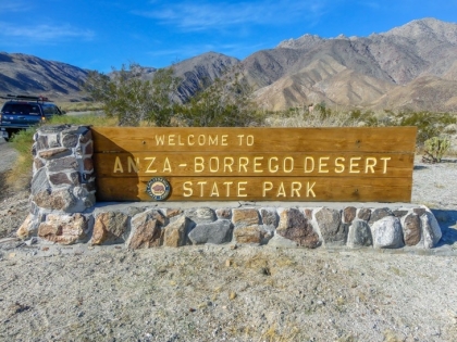
In this study, archaeologists Kris Reinicke and Alberto Foglia introduce the innovative use of drones for archaeological mapping, building upon historical precedents and technological advancements. Through case studies and practical demonstrations, they showcase the potential of drones in capturing high-resolution imagery of archaeological sites. Case studies at sites like Truckhaven Intaglio, Mason Valley, and Kane Springs demonstrate the efficacy of drone mapping in archaeological research. The importance of thoughtful planning, equipment selection, and adherence to regulatory requirements is emphasized for successful drone missions. Through meticulous image processing techniques and photogrammetry software, the researchers demonstrate the creation of detailed 3D models and orthoimagery, facilitating enhanced site documentation and analysis. Despite encountering challenges such as weather conditions and regulatory complexities, the integration of drones offers unprecedented opportunities for efficient and cost-effective archaeological mapping and preservation efforts. This study contributes to advancing the field of archaeology by harnessing the potential of drones as indispensable tools in site documentation and cultural heritage conservation.
Admission/Cost: FREE
Location:
Los Penasquitos Adobe Ranch
12122 Canyonside Park Drive
San Diego, CA
Tuesday, March 26 - 7:30 PM to 9:00 PM
